Sonning Common Explorers
Welcome to Sonning Common Explorers!
We are delighted to provide you with walks and activities for the Sonning Common, South Oxfordshire area, ranging from 1 mile to 12 mile routes.
Each walk contains a map, detailed directions and an activity to complete on your way around the route. We have also included a further selection of activities which you can undertake on any of the walks – click on the ‘Explorers’ icon below to see these.
![]()
![]()
Amanda Watkins-Cooke of Active Leaders has mapped the wonderful routes using the ‘Footpath’ app. This can be downloaded free onto your mobile device. It is very simple to use if you wish to map any of your own routes. All the routes have been mapped during May 2020.
This project has been supported by the South and Vale Councillor Grant Fund Scheme.
Why not get out into the fresh air and start exploring?
Click on each map below to find a different walk. Please let us know which walks you have enjoyed the most and any new walks you have discovered. Please send an email and any photos to info@activeleaders.co.uk or check out our FaceBook page. We hope you enjoy the beautiful countryside!
Click on the associated ‘GPX File’ link for the GPX file to be used on suitable fitness watches, Strava etc.
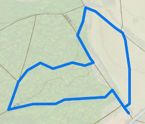
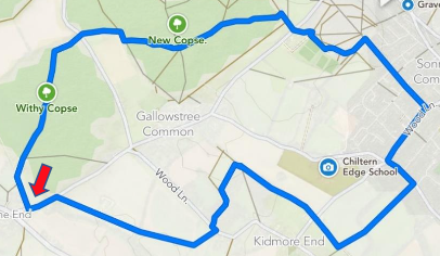
1.09m New Copse Loop
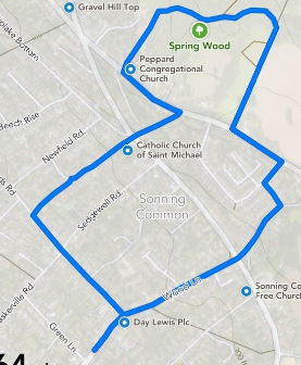
1.64m Spring Wood Loop.
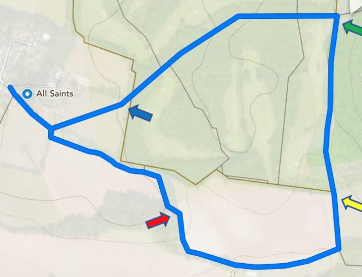
1.65m Peppard Church Loop
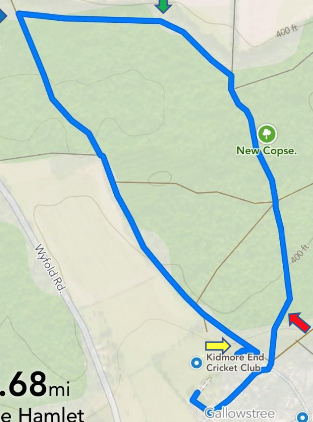
1.68m Hamlet, New Copse Loop
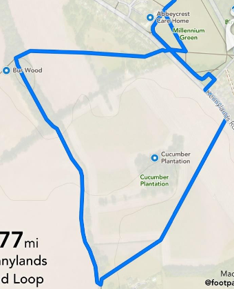
1.77m Bur Wood Loop
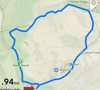
1.94m Grey’s Court Loop
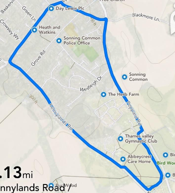
2.13m Millennium Green Loop
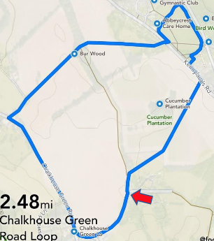
2.48m Chalkhouse Green Loop
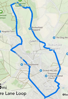
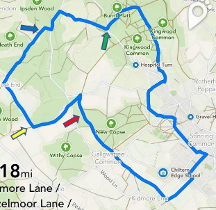
2.74m Blackmore Lane Loop
3.65m New Copse, Old Copse Loop
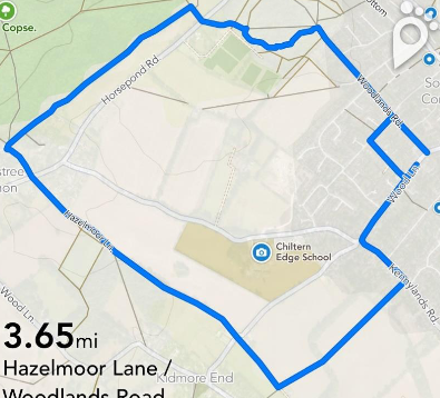
3.66m Woodlands Road Loop
3.70m Mill Lane Loop
3.74m Animal Trail
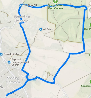
3.82m Dog Lane Loop
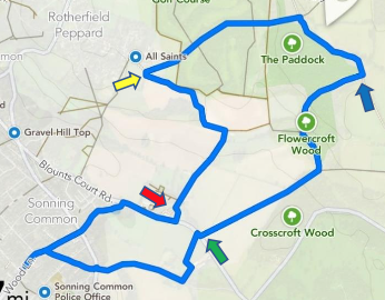
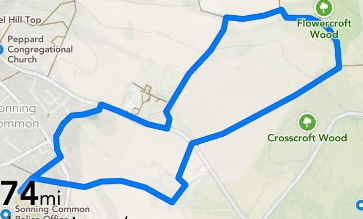
4.37m Flowercroft Wood, Spring Wood Loop
4.45m Spring Wood, Colmore Lane Loop
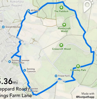
5.36m Crowsley, Peppard Church Loop
5.45m Withy Copse, New Copse Loop
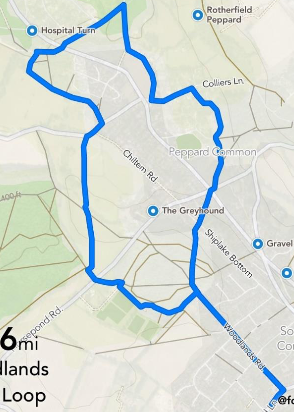
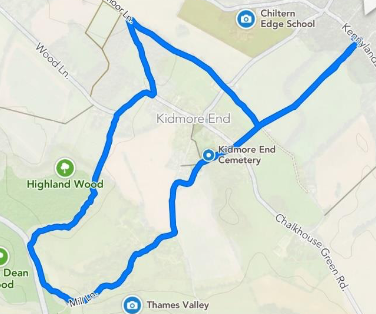
5.74m Hazlemore Lane, Kidmore Lane Loop
5.87 The ‘Dinosaur’ Walk
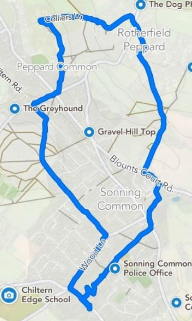
5.93m Peppard Loop
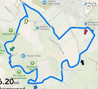
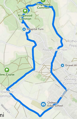
6.20m Dyson’s Wood, Mapledurham Golf Course Loop
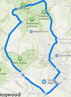
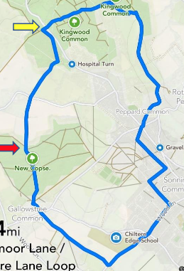
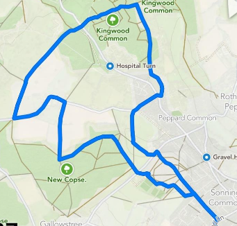
7.14m Peppard, Kingwood Common Loop
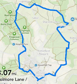
8.07m Greys Court, Highmoor Loop

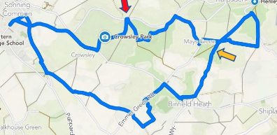
8.73m Crowsley Park Greys Green Golf Course Loop
Below are some additional walks that you might like. These do not have the full directional information, but do have the Foothpath app link available.

1.93m Peppard Church Loop

2.39m Burnt Platt Loop

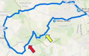
2.58m Crowsley Park Loop

2.82m Peppard Loop

3.22m Dysonwood, Tanners Lane Loop

3.69m Kidmore End, Coldnorton Wood Loop

4.14m Flowercroft Wood Loop

4.62m Peppard, New Copse Loop

5.06m Greys Green Loop.

5.77m Nippers Grove Loop